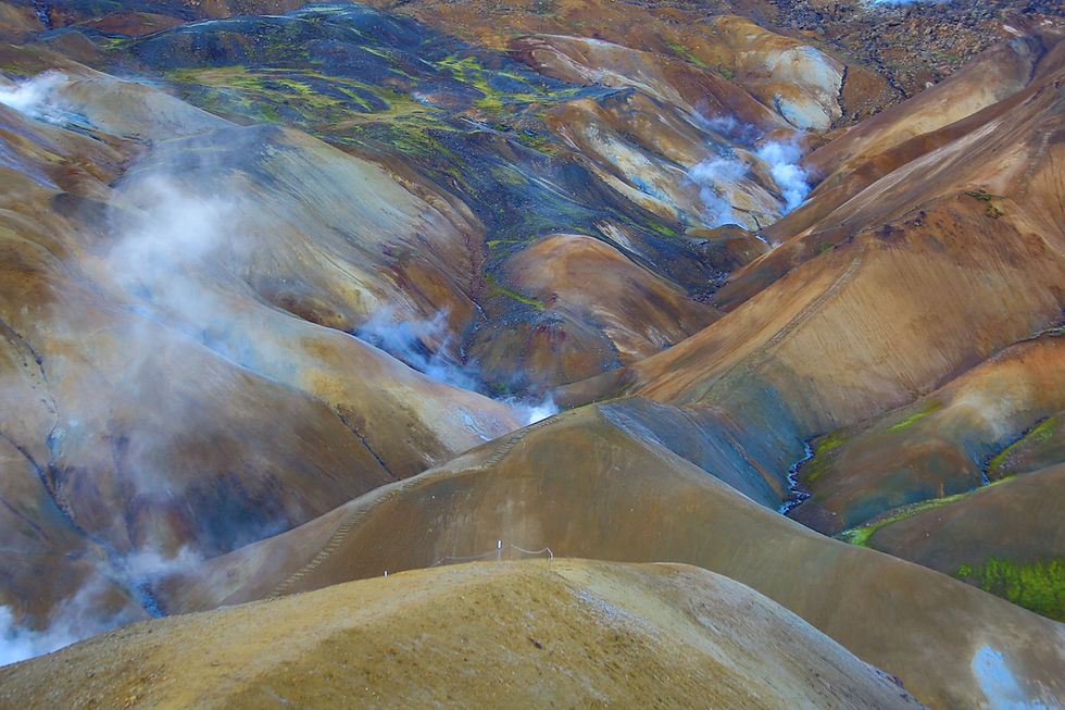
Mount Seymour, Vancouver North Shore, B.C., Canada.
- Apr 13, 2018
- 4 min read
Updated: Dec 31, 2022
From the minute one touches down in Vancouver International Airport and head north towards the city center, one can't help but notice an imposing mountain range covered in snow in the distance. Just across the Burrard Inlet north of Vancouver is an area more commonly known as the North Shore. This area was once home to many indigenous people like the Squamish, Musqueam and Tseleil-waututh.

The North Shore is synonymous to the capital of the Great Outdoors. It is sandwiched between Howe Sound on the west, Indian Arm on the east, Burrard Inlet to the south, and Garibaldi Mountains to the north. Several rivers run through it, cutting deep canyons such as Capilano and Lynn canyons. There are several regional parks in this region that are part of the Pacific Ranges - Cypress Provincial Park, Grouse Mountain, Lynn Mountains and Mount Seymour Provincial Park (pictured above).
Within Mount Seymour Provincial Park, there are approximately 14 maintained trails of varying difficulty and lengths. One of the best with a rating difficulty of HARD is the Mt. Seymour Trail which leads to its three rocky summits along the divide. The trail head access point is at the back of Mount Seymour Ski Resort.

Upon entering a douglas fir forest behind the ski lifts, the trail climbs in earnest. Even though it was early November, much snow had fallen from the previous days, which made it quite difficult to gain traction.

As rows of douglas fir trees guided us towards the top, we couldn't help the feeling of anticipation to reach the summit of the mountain. Not too long into the first section, we came across a memorial of someone we didn't recognize. After some internet searches, we came to know that the person in the picture was a team leader of the North Shore Search And Rescue group. Sadly, he died on the return trip from Mount Seymour a few years back.

He was a well liked and highly skilled mountaineer. There has been proposals to rename the second peak of Mt. Seymour from Second Pump Peak to Tim Jones Peak in honor of him.
The trail is well marked intermittently with fixed posts that are easy to follow. Even though it was pretty cold at the start, we soon worked up a sweat due to the steady uphill climb. Soon, the gloves and thermal jackets were off and we were hiking in just our t-shirts!
We crossed over a section that would have been an active flowing creek, if not for the freezing cold. A lake had formed at the end of the creek that was frozen solid; so we skirted around it's perimeter to get by.

Past this frozen lake, it was back to more climbing, but nothing too difficult as the terrain was very gradual. This traverse takes us in between the valleys of many peaks that makes up Mt. Seymour Provincial Park. After passing Mystery Peak, we came upon another named Brockton Peak, with its ski lift operation visible from down here.

Once we skirted away from the base of Brockton Peak, the terrain started to get steeper. On some sections, snow was turning into slush and it made the walk even more slippery. Ascending and descending this rocky section can prove to be fatal due to the ice melting over the rocky terrain. A simple slip could result in a really bad accident.

After a good cardio section, we came to a relatively flat area. It was covered in very thick snow. It was truly a winter wonderland scene. You can see the visible fresh tracks made by hikers recently leading towards the first peak.

The section before gaining the first peak requires some scrambling over rocks, only to be made more difficult due to fresh fallen snow the night before. The climb up would have been easier if we had worn micro-spikes with our hiking shoes. At the top, there were several hikers taking a break while waiting for the clouds to clear. In fact, it was raining down in the city but since we were above the clouds, we had pretty good weather throughout the hike. Not a drop of rain or snow. Unfortunately, the view was obscured by the rain clouds hovering over the city below us.

After a short break, we headed towards the Second Pump Peak (Tim Jones Peak). We had to drop down a few hundred feet to get on the trail which is covered in 3 feet of snow. Needless to say, it turned our walk into a crawl. Since we made good time to the first peak, we didn't have to worry about not making back to the car before sunset. It certainly would have helped if we had snow shoes!

The toughest section was the last section before topping out at the second peak. The path was covered in snow and ice and we had difficulty finding traction as we climbed steeply to the top. In about 15 minutes of scrambling through ice, we finally reach the top of the second peak.

We rested for while while soaking in the partial views we had on that day. The clouds didn't seem to want to go away as we reluctantly waited for it to do so. We had also contemplated on hiking to the third peak, the true peak of Mt. Seymour but since we didn't have the right shoes for it, we ended our hike here. Better to be safe than sorry.

We will definitely return again to complete this hike during the summer months. It will be a different experience altogether.

During our last trip to Vancouver in July of 2022, we tried to summit Mt. Seymour but there was too much snow and ice! We had to turn around just short of 300 feet from the First Pump Peak.


Comments