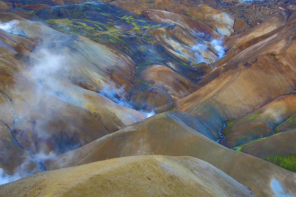
Ainapo Trail, Mauna Loa, Hawai'i.
- Apr 18, 2018
- 4 min read
Updated: Jan 3, 2023
Mauna Loa, meaning Long Mountain, is the second highest volcano in Hawaii next to Mauna Kea. The first expedition to climb it was in 1794 led by Archibald Menzies of the famed Vancouver Expedition via the Ainapo Trail. The original 35-mile Ainapo Trail was an ancient trail built by Hawaiians to bring offerings to the goddess Pele during times of eruption. After 1915, a new trail was built from Kilauea crater in the southeast to the summit of Mauna Loa where it terminates at the crater rim of Moku'awe'aweo. Since then, the Ainapo Trail had fallen into disuse, and much of it at the lower elevation from 2,000-5,000 feet has been rezoned for private agriculture and ranching. To access the official trailhead, one needs permission from Kapapala Ranch in advance as the road to the trailhead is gated and crosses it's property line.

From Highway 11 at about the 40.5 mile marker, we drove past the gated cattle guard and onto Ainapo road. This access road is maintained by the state of Hawaii. Along this dirt road, we followed the fence line of the private ranch which took us past many cattle guards and corrals. We stopped for an opportunity to take some photos of a family of mules.

The Ainapo road is rutted and rugged as we continued further into the uplands. We started at an elevation of approximately 2,600 feet, and ended at about 5,600 feet near the official trailhead. Besides the occasional bumps over rocky terrain, the drive was quite pleasant as we passed free roaming live stock, and forests that flanked both sides.

There are remnants of old Hawaii scattered across the vast grassland that was transformed by ranchers after they moved into this part of the mountain. At approximately 3,700 feet, the Ainapo Ranch House was reminiscent of the good old ranching days, surrounded by tall eucalyptus trees with a constant cool breeze blowing through.

As we headed farther inland, the forest started to change. From 4,500 feet elevation and up, trees were now replaced with native plants like ohia and koa. The road then started to leveled off as we drove past many groves of koa trees.

At about 4,700 feet, we reached the Kapapala Forest Reserve Boundary. Its a refreshing sight to see something familiar and a reaffirmation that we are on the right track. With a trusty 4WD vehicle, we shaved off 16 miles of walking along this road!

At 5,680 feet, we finally reached the official Ainapo trailhead. It was just the perfect hour to alight from our car and stretch our legs a bit. Now, the real hiking began - a 2.7 mile scenic walk through native forests and old lava fields - to reach Halewai; a newly built cabin at the 7,750 foot elevation.

The initial portion was heavily shaded with a cool breeze blowing across the slope. The path was somewhat cleared and easy to follow. We came through a nice sweeping fern grotto and continue to ascend the slope of Mauna Loa with thick vegetation on both sides.

As we made our way higher up the slope, we wondered how much of this trail was kept as close to the original Ainapo trail climbed by Archibald Menzies and his 100 Hawaiian entourage in 1794. We also came across an old wall - perhaps built by Hawaiians to delineate the land boundary, or as a wall to keep their live stock from straying away.

As we approached the 7,000 foot line, the vegetation changed abruptly. It got sparser and generally consisted of somewhat dwarfed shrubs of ohia lehua; an indication that we were now in the dry mesic forest.

We finally reached Halewai at around 11:28 am or about after 2.5 hours of hiking; since we started at about 8:54 am. From here to the the top of Mauna Loa it will take another 7.5 miles of hiking over lava fields and very expose sections with little shade. After we rested and ate our lunch, we scouted out the surrounding area and the interior of the cabin.

There were a number of remnant buildings in the area - a lean to over a fire pit, a picnic table, the base of a wooden water tank and a curious outdoor shower. Within the cabin, there was the customary sign in log, some information about the surrounding forests, a couple of canned food, and water containers; left by previous visitors.

In reflecting on our trip here, we noted that Halewai was nestled in Hawaii's most pristine forests - Hawaii's best kept secret. Throughout our drive and hike, we did not encounter a single soul. As we headed back down, we took one more short pause to admire the views from up here. We could see as far as Ka'u desert and the ocean. A rain storm was brewing and heading our way. It was time to continue our return journey back to the car and to civilization.

If you have the time, there are many natives in the area that can be appreciated. Here are some photos of plants and flowers that we came upon along the way.


Comments